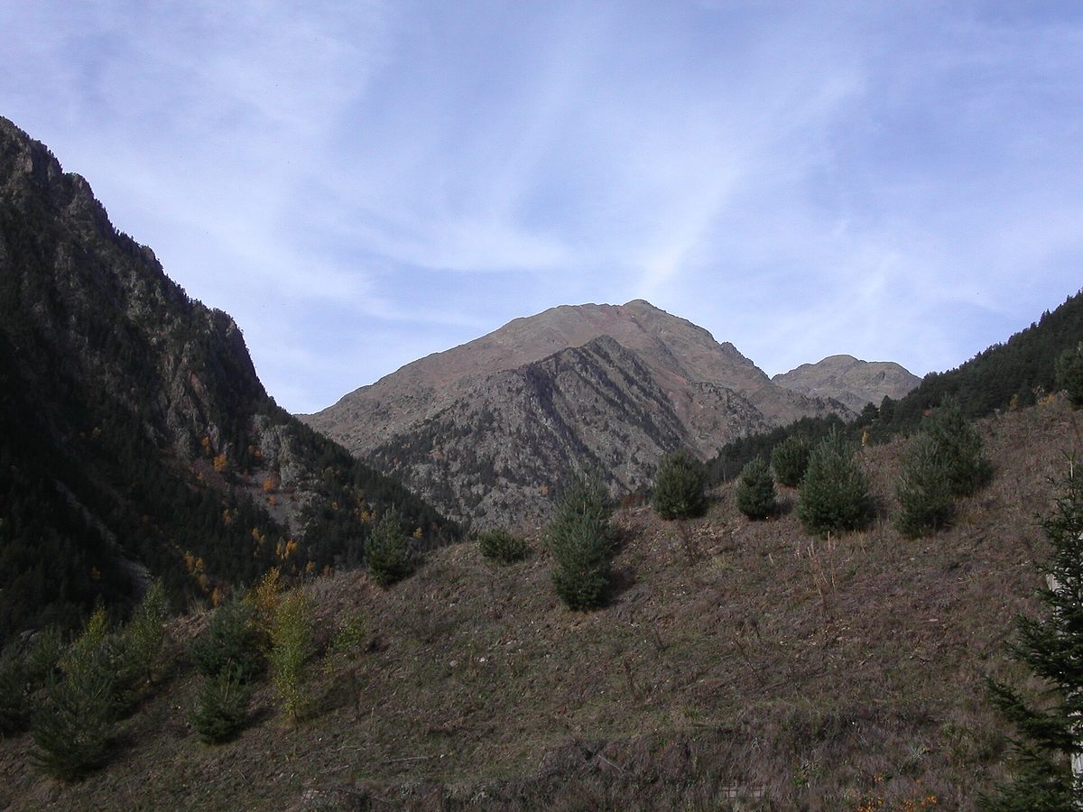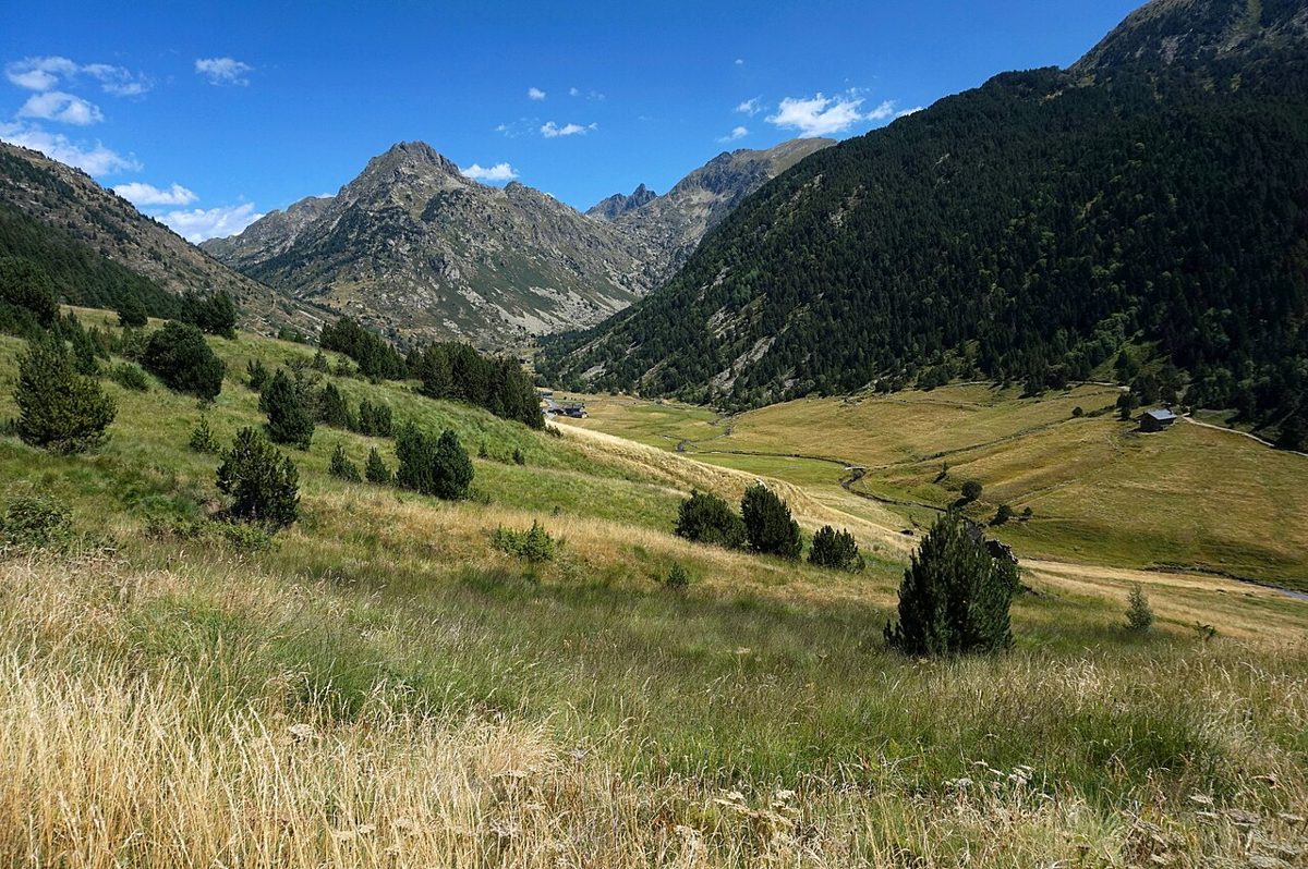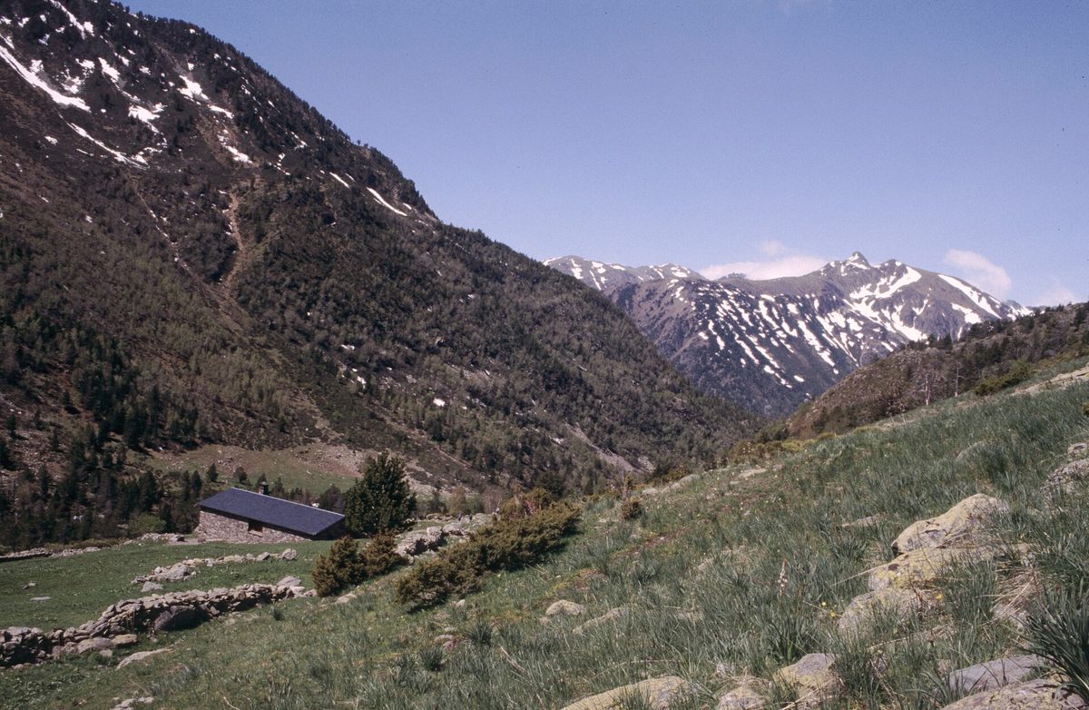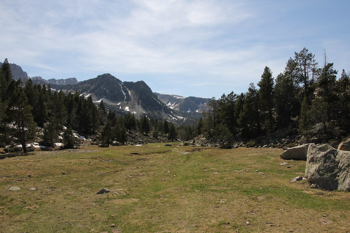
The moment the Coronallacs stopped being an abstraction for me was on the fourth morning, sitting on a rock somewhere above the Sorteny valley at around 2,700 m, eating a squashed cereal bar and looking back across three days of country I had walked over. You can see most of Andorra from up there. It is a very small nation, and it does not feel small at all when you are crossing it on your own feet.
The Coronallacs is a 92 km circular hut-to-hut trek linking Andorra’s four staffed mountain refuges over five long days, starting and finishing in Escaldes-Engordany. This guide is for fit walkers with some multi-day experience who want the honest version: stage detail, real costs, how to book, and the alternatives if five hard days is too much.
Last updated: September 2026. Refuge rates, opening dates and bus timetables change every season — check coronallacs.com, the individual refuges and the Andorran weather service before you commit to dates.
Coronallacs at a glance
What the Coronallacs actually is
Andorra has been quietly good at long-distance walking for decades, but the Coronallacs is a relatively recent piece of packaging, and it is a clever one. Somebody looked at the country’s existing circular route, noticed that four of the mountain huts on it are staffed and serve dinner, and drew a five-day itinerary that sleeps in all four. Book once, walk with a light pack, get fed every evening.
That last part is the real selling point. On a normal Pyrenean traverse you carry a stove, fuel, five days of food and possibly a tent. Here you carry a sleeping bag liner, spare clothes, waterproofs, two to three litres of water and snacks. My pack was around 7 kg. On a route with 6,000 m of ascent, that difference is not a luxury — it is the difference between finishing and limping off at Llorts.
The route is deliberately high. It threads passes at 2,500 to 2,800 m, drops into a valley, then climbs straight back out. There is very little flat. If you have walked the Tour du Mont Blanc and found it manageable, understand that this is a harder route in terms of ascent per kilometre and a much lonelier one in terms of who else is out there.
The four staffed refuges
Refugi de l’Illa sits at 2,488 m at the head of the Madriu valley, beside a small dammed lake, and it is the highest bed on the circuit. Refugi de Juclà, at 2,310 m above the Juclar lakes, is the one you arrive at wrecked. Borda de Sorteny, at 1,965 m, is the lowest and the most comfortable, a converted stone farm building at the mouth of a nature park. Refugi del Comapedrosa, at 2,265 m, sits under Andorra’s highest mountain and has the best last-evening view of the four.
All four are proper staffed huts: bunk rooms, a warden, three-course dinners, breakfast, sockets to charge a phone, drinking water. Two of them had a usable internet connection when I passed through; the other two did not, and nobody minded. Bring cash. Extras — the picnic lunch, a beer, a second bottle of wine — are generally paid in cash at the hut, not through your online booking.
There are also around nine unstaffed refuges scattered along or near the route, free, first-come, and useful as a lunch stop or a bail-out in bad weather. Do not plan on one being empty in August.
Coronallacs, the GRP and the GR11 — which is which
This confuses people, so let me be blunt about it. The GRP Andorra — Gran Recorregut del País — is the original circular route around the country: roughly 115 to 120 km in seven stages, about 7,500 m of ascent, designed around the country’s full network of 29 mountain huts. It starts and ends at Aixovall in the south-west and uses a mix of staffed refuges, unstaffed huts and valley hotels.
The Coronallacs uses GRP waymarking for almost its entire length. It is, in practice, a shortened and repackaged GRP with the nights fixed at the four staffed huts and a booking system bolted on. If you see red-and-yellow paint, you are on the GRP. The black and pale blue Coronallacs discs only appear where the two diverge or where a junction needs clarifying.
The GR11 is a different animal entirely: the Transpirenaica, running the length of the Spanish Pyrenees from the Mediterranean to the Atlantic. Its Andorran section crosses the country west to east in roughly three days, entering over the Coll de Comapedrosa from the Vallferrera, dropping to Arinsal, working through Arans and the Coll d’Ordino to Encamp, then climbing the Madriu valley to Refugi de l’Illa before leaving for Catalonia. The GR7 also passes through, crossing the others near the Estany de l’Illa.
So three long-distance routes converge on one small lake at 2,480 m. If you want the wider context — the trail grades, the refuge network, the day walks — start with our pillar guide to hiking in Andorra, then come back here for the multi-day detail.
The five stages, walked honestly
Almost everybody walks it anti-clockwise, which is how the booking system and the signage are set up. The stage descriptions below use the official distances, with the numbers real walkers tend to record in brackets where they differ.
Stage 1: Escaldes-Engordany to Refugi de l’Illa
About 13 km (most people log closer to 14) with 1,473 m of ascent and almost no descent. On paper this is the short day. In practice you start at around 1,100 m in the middle of a town and finish at 2,488 m, and you do it with a full pack on legs that have not yet worked out what is happening to them.
The whole stage climbs the Madriu-Perafita-Claror valley, which is a UNESCO World Heritage Site and, to my mind, the finest thing in the country. The first couple of hours are a broad forested path — welcome shade on a hot morning. Above the treeline the valley opens into old pastures, stone bordes and a stepped series of glacial shelves. The last hour is a plod up to the dam and the hut.
Start early. This is a south-facing climb and in July it is brutal by eleven. The parish of Escaldes-Engordany is the start, and the tourist office on Plaça Santa Anna is where you collect your route pass and passport before you set off.
Stage 2: Refugi de l’Illa to Refugi de Juclà
19.4 km official, around 21 km on most trackers, with roughly 1,350 m up and 1,520 m down. The hut warden will tell you to allow ten hours. Believe the warden.
You climb straight out of bed to the Collada dels Pessons at around 2,810 m, the high point of the trek. From the pass the Circ dels Pessons opens up below with its scattered tarns — one of the best views in Andorra, and one that most visitors only ever see from a Grandvalira chairlift in a ski suit.
Then comes the part nobody warns you about. You lose around 900 m into the Envalira basin, cross a landscape of ski infrastructure that looks strange after a day above 2,400 m, and climb the whole thing back up to Port Dret. That second climb is long, steep and thankless. After it you descend past the unstaffed Refugi del Siscaró, at which point you will convince yourself you are nearly there.
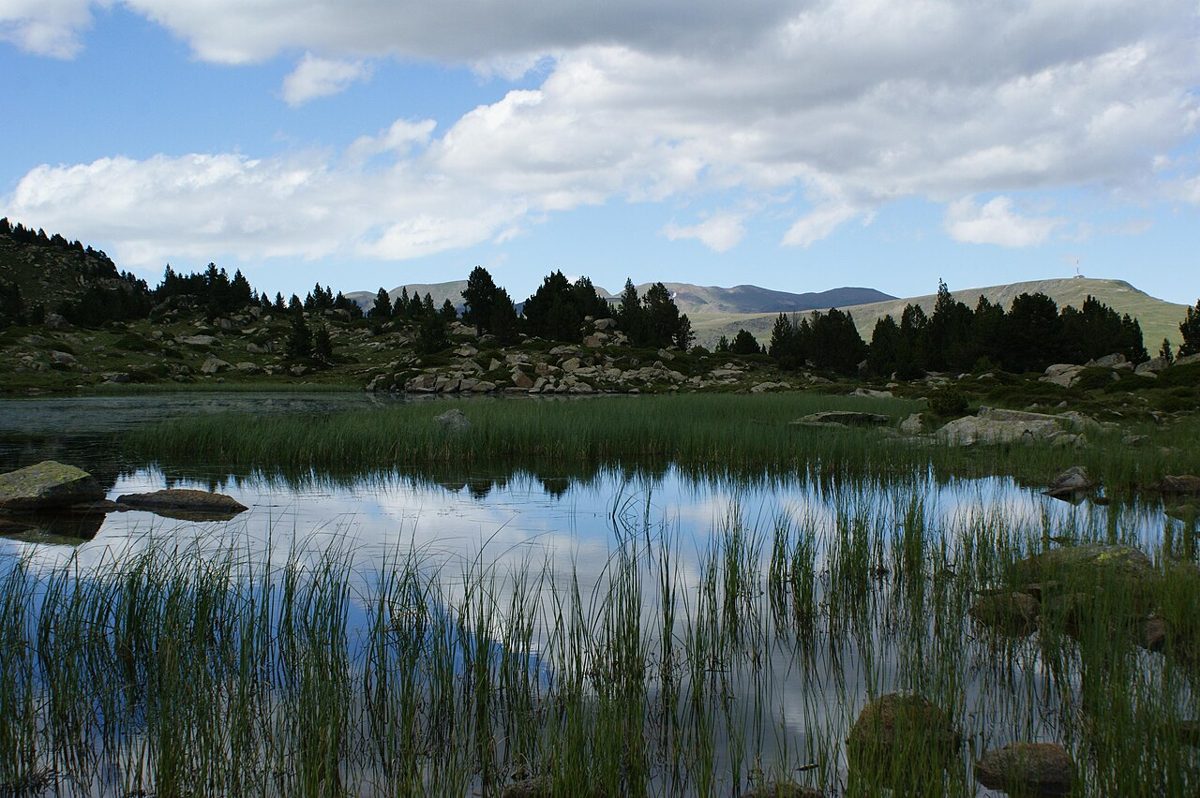
You are not nearly there. The final section to Juclà is over an hour of rocky ground with a few chains and some genuinely awkward footing, and it arrives much later than you expect. Every corner looks like the last one. This is the day people remember.
Stage 3: Refugi de Juclà to Borda de Sorteny
16.9 km (about 18 in practice), roughly 1,420 m up and 1,750 m down, with two substantial climbs. After stage two it feels almost civilised.
The descent from Juclà brings you into Vall d’Incles, which is where you meet other people for the first time in two days — day walkers, families, a car park. The first climb takes you up to the Serra de Cabana Sorda past the lake of the same name, and the panorama from the ridge is a full 360 degrees.
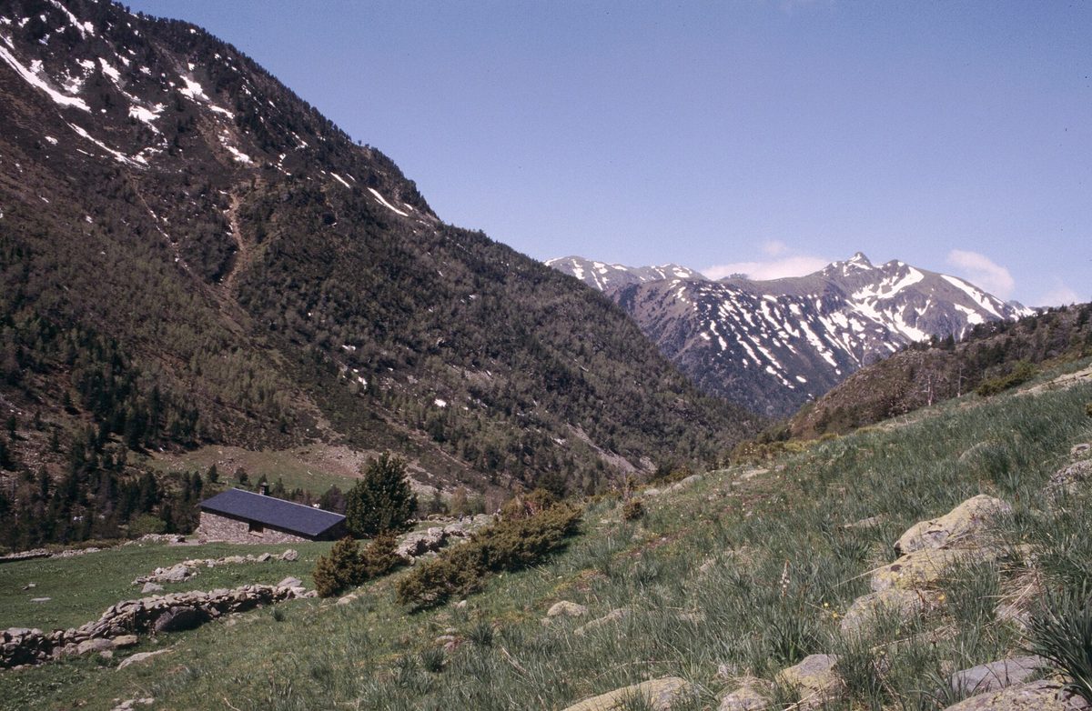
Down 500 m to the unstaffed Refugi de Coms de Jan — mine came with a substantial herd of cows in attendance — then up again to the Collada dels Meners at around 2,719 m. From there it is a long, forgiving 800 m descent into the Sorteny valley, a nature park with more than 700 recorded plant species and, in late June and early July, wildflowers that stop you walking.
The final stretch to the hut can be overgrown with shoulder-high grass in a wet summer. Trousers, not shorts, unless you enjoy nettle rash.
Stage 4: Borda de Sorteny to Refugi del Comapedrosa
21.8 km with something like 1,900 m of ascent and 1,600 m of descent. This is the longest and hardest day on the route, and it is the one I would think hard about before booking consecutive nights.
The stage crosses the whole north-west of the country. There is a big climb to the Pic del Clot del Cavall, from which Coma Pedrosa, Andorra’s 2,942 m high point, sits in front of you all afternoon in changing light. The final 500 m up to the refuge follows a creek with a string of waterfalls on a well-built path.
Here is the useful loophole: your four refuge nights do not have to be consecutive. The booking system allows up to eight days. Plenty of people split this stage, dropping down to El Serrat or Llorts for a valley night, then restarting the following morning with a climb out. It turns a nine-hour day into two shorter ones and it is the single best decision available to anyone unsure about their fitness.
Stage 5: Refugi del Comapedrosa to Escaldes-Engordany
21.4 km, only around 750 m of ascent, but close to 1,900 m of descent — which on tired knees is its own kind of punishment.
You start with a short climb to the Portella de Sanfons, right on the Spanish border. On a clear morning you can see Aneto, the highest peak in the Pyrenees, from up there; on a cloudy one you see the inside of a cloud, which is what I got. From the pass it is downhill essentially all the way, past Pic Negre, out of the high ground and into forest.
The last couple of hours are a slightly surreal re-entry: ski lifts, a bike park, the sound of traffic, then a riverside Camí Ral path down the valley to Escaldes and the tourist office where you started. Hand over your passport with its four stamps and you get a certificate and a Coronallacs buff. It is a small piece of fabric and I was ridiculously pleased with it.
Booking, costs and the practical machinery
How the booking works
You book the package through the official Coronallacs site, choosing your dates for each of the four huts. Booking the package has generally worked out cheaper than reserving each refuge individually, and it is a great deal less admin — four huts, four phone numbers, four email threads is a tedious evening. Nights need not be consecutive and the whole thing can be spread over up to eight days.
With your booking voucher, call at the Escaldes-Engordany tourist office on Plaça Santa Anna before you start. They hand over the route map and the passport you need stamped at each hut. You can also borrow a solar phone charger against a deposit, which I would skip — every hut has sockets.
What it costs
Recent seasons have run at around EUR 54 per person per night for half board including wine, plus about EUR 1 tourist tax, which puts the four-night package in the region of EUR 220 to EUR 260. Add roughly EUR 15 if you want the hut to make you a packed lunch, which I would, at least on stages two and four. A beer at 2,300 m is around EUR 4 and worth every cent.
Budget another EUR 60 to EUR 100 for buses, a night either side and the odd supermarket resupply. Rates change annually — treat these as the shape of the cost, not a quote.
Getting there and parking
Most people arrive by bus from Barcelona; see our guide to the Barcelona to Andorra route for the operators and journey times. From the bus station in Andorra la Vella, Escaldes is a twenty-minute walk or a short local bus hop.
Driving, there is a Coronallacs arrangement at the Vall del Madriu car park at the Pont de la Plana crossroads on the Carretera d’Engolasters, near Lake Engolasters, at around EUR 2.50 per 24 hours. You have to select the parking option and give your registration when you book. Spaces are not guaranteed and in August they are frequently gone; only a couple are held back for Coronallacs users. There is also a free communal bus up to Engolasters from near Caldea, running from about 7am. For the wider picture on buses and lines, our guide to getting around Andorra covers the national network — the L5 up the Ordino valley and the L4 to Arinsal are the ones that matter if you need to bail out mid-route. Check the current timetable rather than trusting my memory.
When to go, and what it is like then
The window is late June to early October, and it is not negotiable. The huts are staffed roughly June to October depending on snow, and the high passes hold hard old snow well into June in a big winter. Outside those months this is a mountaineering route, not a walk.
Late June and early July is my favourite: long daylight, the Sorteny meadows at their best, snow patches on north-facing slopes that are more nuisance than danger. August brings heat, afternoon storms and full huts — book months ahead if that is your only option, and read our notes on Andorra in summer for the general seasonal picture. September is the connoisseur’s month: stable air, clear light, empty trails, colder nights.
Afternoon thunderstorms are the real hazard. They build fast and they build over exactly the ridges you need to cross. The fix is boring and effective: start at first light, be over your high pass by early afternoon, and check meteo.ad every evening at the hut. If you want to compare months across the whole country, our overview of the best time to visit Andorra puts the hiking season in context.
What to carry
Because the huts feed you, the pack list is short. Boots you have already broken in — the ground is rocky and unforgiving, and stage two will find any flaw in your footwear. Trekking poles, which on 6,000 m of ascent and descent are not optional in my opinion. A sleeping bag liner, as huts provide blankets but not sheets.
Two to three litres of water capacity, plus purification tablets. There are streams everywhere but livestock graze extraordinarily high here — I have seen horses above 2,600 m — so treat anything you take from open water. Every hut refills bottles free.
Then the standard mountain kit: waterproof jacket and trousers, a warm layer for evenings at 2,500 m, sun hat, high-factor sun cream, head torch, small first-aid kit with blister supplies, and a phone with the GPX track loaded offline. Roaming charges in Andorra can be unpleasant for EU numbers, so keep the phone in airplane mode and rely on hut wifi where it exists.
On bivouacking: Andorra permits it above 2,000 m, at night only. That opens up the unstaffed huts and some legal wild camping for anyone wanting to walk the route independently and cheaply — our guide to camping in Andorra covers the rules properly.
Mistakes I see people make
Underestimating cumulative fatigue is the big one. Any single Coronallacs stage is a hard but ordinary hill day. Five of them back to back, with 1,400 to 1,900 m of ascent each, is a different proposition, and the wheels usually come off on day four rather than day two.
Carrying too much comes second. The whole design of this trek is a light pack. If you have packed for self-sufficiency out of habit, you have thrown away the advantage the route hands you.
A third mistake is treating the shortest stage as the easy one. Stage one has 1,473 m of ascent in 13 km with zero warm-up and a full pack in the heat of the day, and it puts people in a hole they never climb out of.
Finally, booking five consecutive nights when you are not certain of your fitness. Use the eight-day allowance. Nobody hands out extra points for suffering.
If the Coronallacs is too much: other multi-day options
The full GRP Andorra
The seven-stage GRP is longer at roughly 115 to 120 km but the days are shorter, and because it uses the wider network of huts and a couple of valley hotels you have far more flexibility over where you stop. Stages run Aixovall to Refugi de Claror, on to l’Illa, then down to the Grau Roig area, up to Juclà, across to the Ordino valley, up to Comapedrosa and back to Aixovall. Its high point is around 2,829 m on the third stage. Choose it if you want the country in bite-sized pieces rather than a five-day sprint.
The GR11 Andorra crossing
If you would rather go through the country than round it, the GR11 Andorra section is about three days west to east. Come in over the Coll de Comapedrosa from Spain, sleep at Refugi del Comapedrosa or drop into Arinsal, cross the Coll d’Ordino to Encamp, then climb the Madriu to Refugi de l’Illa and out towards Núria. It stitches neatly into a longer Pyrenean traverse and needs no booking package.
Two and three-day loops
You can build a very good short trek without committing to the whole circuit. Escaldes up the Madriu to Refugi de l’Illa, then out over the Collada dels Pessons to Grau Roig, is two superb days. In the north, a night at Borda de Sorteny with a day walk up to the Tristaina lakes and back gives you high-mountain scenery with a fraction of the commitment. And a night at Refugi del Comapedrosa with a summit attempt the next morning is arguably the best two-day outing in the country.
If you are not there yet
There is no shame in it, and Andorra is unusually well set up for shorter walking. Our round-up of easy hikes in Andorra covers the lake circuits and valley paths that will tell you honestly whether you enjoy this sort of thing before you pay for four hut nights.
Frequently asked questions
How long does the Coronallacs take?
Five days is the standard, one stage per day, staying in each of the four staffed refuges. The booking system allows you to spread the same four nights over up to eight days, which lets you split the long fourth stage or take a rest day in a valley village. Fast, very fit walkers occasionally compress it, but five days is already a demanding schedule.
How hard is the Coronallacs really?
Hard, but not technical. There is no scrambling that requires a head for heights beyond a couple of chained sections, and no navigation problem in clear weather. The difficulty is volume: around 6,000 m of ascent in five days, at altitude, with passes above 2,700 m. If you comfortably walk 18 to 20 km with 1,500 m of ascent and can repeat it the next day, you are ready.
How much does the Coronallacs cost?
Recent seasons have been around EUR 54 per person per night for half board including wine, plus a small tourist tax, so roughly EUR 220 to EUR 260 for the four-night package. Packed lunches add about EUR 15 each. Extras at the huts are paid in cash. Rates are set by each refuge and change annually, so confirm at the time of booking.
Do I need to book the refuges in advance?
Yes, and well in advance for July and August. Picking up the route pass does not reserve you a bed — those are two separate things. The huts are small, the season is short, and turning up at 2,488 m to find no space is not a recoverable situation. Book the package online, then confirm any dietary requirements directly with each refuge.
What is the best time of year to hike it?
Late June to early October, with the staffed huts open roughly June to October subject to snow. Early July gives you wildflowers and long days; September gives you stable weather and quiet trails. August is hot, stormy and busy. Outside the season the passes hold snow and the huts are shut or unstaffed.
Can I walk the route without booking the package?
You can. The Coronallacs follows public GRP waymarking, so nothing stops you walking it independently, sleeping in the free unstaffed refuges or bivouacking above 2,000 m at night. You will carry much more weight and cook for yourself, and you will not get the passport, the certificate or the buff. For most people the package is the better trade.
Is there phone signal and wifi on the route?
Signal is patchy and disappears entirely in the deeper valleys. Two of the four huts had a usable internet connection when I walked it; the others did not. All four have sockets for charging. Roaming can be expensive for EU numbers in Andorra, so download your maps offline and keep the phone in airplane mode. The emergency number is 112.
Which direction should I walk it in?
Anti-clockwise, starting up the Madriu valley. That is how the booking system sequences the huts, how the Coronallacs signage is oriented, and how the ascent is distributed — the biggest climbing days come while you are freshest, and the final stage is largely downhill into town. Walking it the other way is possible but you would be swimming against the current.
Related guides
For everything else on foot in this country, our pillar on hiking trails in Andorra is the place to start, with the day walks, the refuge network and the nature parks parish by parish. When you finish, walk fifteen minutes from the tourist office to Caldea and put your legs in the thermal water — it is the single most sensible thing you will do all week. For the rest of the trip, see our list of things to do outdoors in Andorra.
Photo credits
All photographs are from Wikimedia Commons under their stated licences, with thanks to the photographers:
- Photo: Ferran Llorens, CC BY-SA 2.0, via Wikimedia Commons — source
- Photo: Ferran Llorens, CC BY-SA 2.0, via Wikimedia Commons — source
- Photo: AndyScott, CC BY-SA 4.0, via Wikimedia Commons — source
- Photo: No machine-readable author provided. Jlmoncada assumed (based on copyright claim, Public domain, via Wikimedia Commons — source