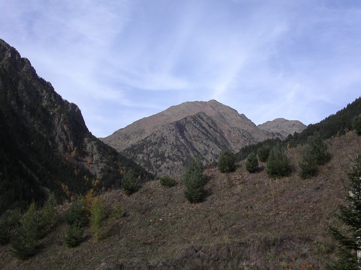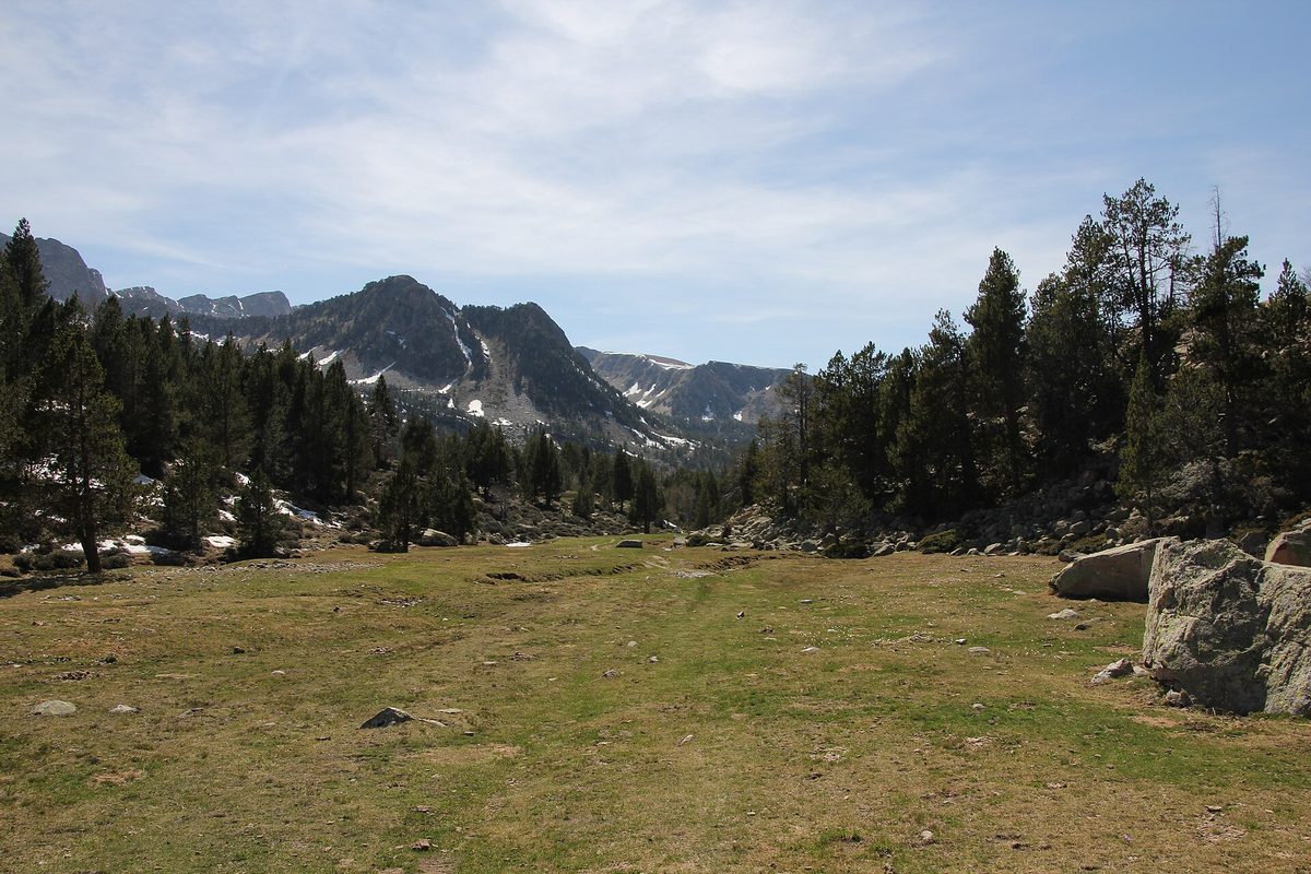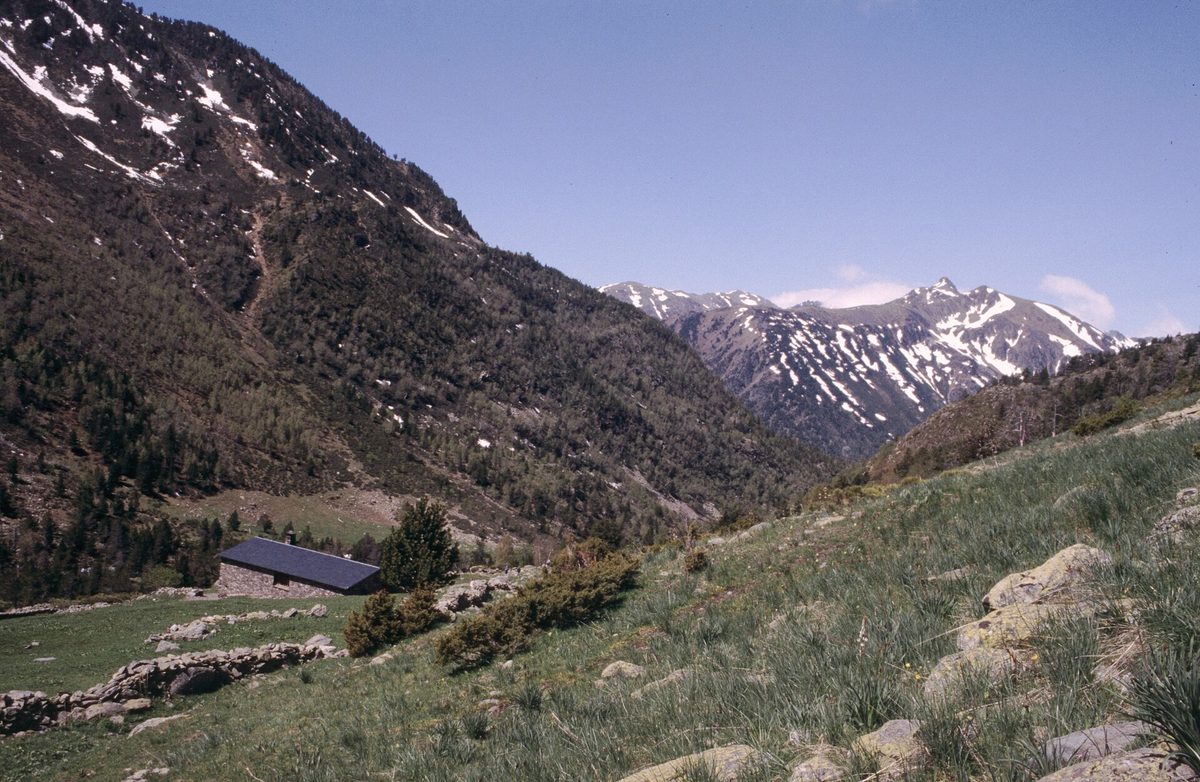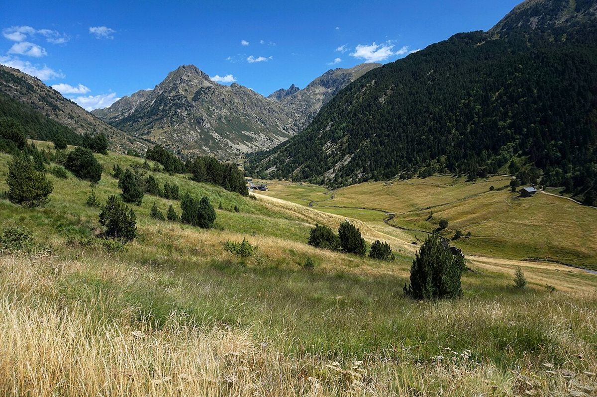
I had a permit-free plan for Coma Pedrosa and a sky that turned the colour of wet slate by ten in the morning. So I bailed, drove back down to the capital, and spent the afternoon walking a flat irrigation channel above the shopping streets instead. It was the best four hours of that trip.
This guide covers the easy hikes in Andorra that give you real Pyrenean scenery for very little effort: valley-floor canal paths, short lake walks, village-to-village trails and a handful of routes that a six-year-old or a knee replacement can handle. It is for people who want the views without the vertical.
Last updated: September 2026. Trail conditions, bus timetables and opening seasons change — check the official Andorran tourism and bus sites before you set off.
| Question | Short answer |
|---|---|
| Best all-round easy walk | Rec del Solà, Andorra la Vella — around 5.1 km with roughly 3 m of ascent |
| Best for small children | Camí del Toll Bullidor, Canillo — under 1 km each way to a waterfall viewpoint |
| Best step-free option | Circuit de les Fonts at Engolasters — around 2.8 km, built as an accessible trail |
| Best high-mountain feel | Estany Primer de Pessons from Grau Roig — about 1.5 km each way, roughly 200 m up |
| Best half-day walk | Camí de les Pardines to Lake Engolasters — 3 km one way, or a longer loop around the lake |
| Best point-to-point | Camí Ral, La Massana down to Andorra la Vella — about 6.7 km, almost all downhill |
| Season | Late June to late September for anything above 1,700 m; valley walks work most of the year |
| Cost | Free. Trailhead parking is free at most of the routes here |
| Without a car | Very doable — bus lines L5 and L6 serve the Ordino and Arinsal valleys from the capital |
| Kit | Trail shoes, 1.5 litres of water, a windproof layer, sun hat, sunscreen |
What counts as an easy walk here — and what quietly doesn’t
Andorra is a country of gradients. The lowest point sits at roughly 840 m and the highest at 2,942 m, packed into an area smaller than a mid-sized city’s commuter belt. Nothing is truly flat unless somebody engineered it to be.
That is why the genuinely easy routes cluster into three types: old irrigation canals cut on a contour, valley floors that a glacier scooped level, and short spurs from a high car park where the road has already done the climbing for you.
My working definition for this guide is under 300 m of ascent, under about 8 km, no scrambling and no exposure that would bother a nervous walker. Most of what follows is well under those limits.
Be warned that “easy” on Andorran signage sometimes means “easy for an Andorran”. A route badged as fàcil can still throw 250 m of steady uphill at you in the first twenty minutes. Read the elevation figure, not the adjective. If you want the full picture of what the country offers across all grades, the complete guide to hiking in Andorra sets out the trail network, the refuge system and the harder classics.
Canal paths: the easy hikes in Andorra that follow water
If you only remember one category from this article, make it this one. Andorra’s recs are centuries-old irrigation channels dug along the hillside to move meltwater to the terraces below. Water does not climb, so neither do the paths beside it.
Rec del Solà, Andorra la Vella
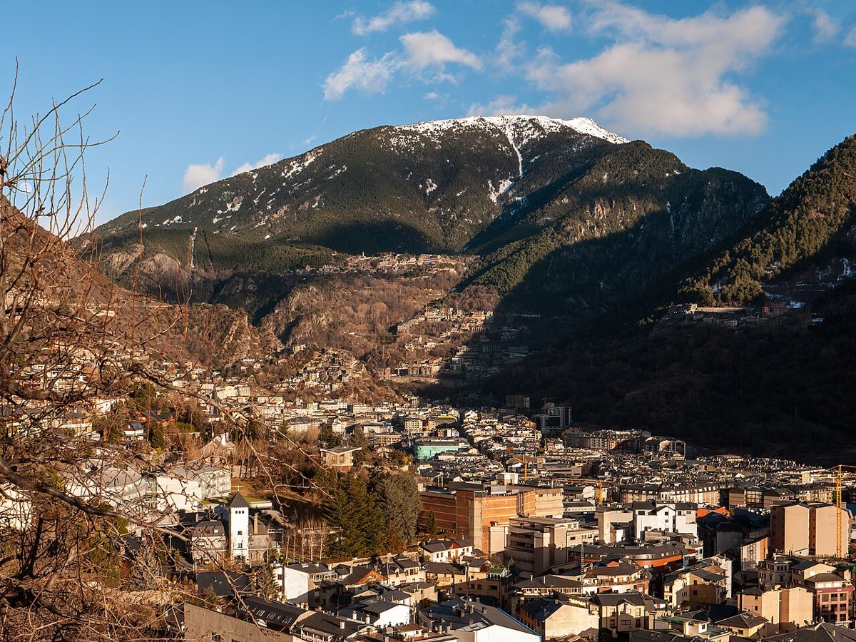
The Rec del Solà runs about 5.1 km along the sunny flank of the capital’s valley, and the official elevation profile lists a gain of roughly three metres. Three. You are walking a shelf 150 m above the shops with the whole valley laid out below.
It starts on the plain of Sant Ermengol, and one of the pleasures is how quickly the city noise drops away. Within ten minutes you are passing vegetable plots that families have worked for generations, with lettuces and bean canes framing a view of high-rise apartment blocks. That contrast is the whole point.
Benches and drinking fountains appear at sensible intervals. Roughly two-thirds along there is a picnic area a couple of metres above the channel with the best free viewpoint over Andorra la Vella that I know of. Interpretation boards cover three themes along the way: how the valley was farmed, how it was built over, and how people here have coped with avalanche and flood risk.
Give it two hours at a stroll. Do it in the late afternoon in summer, because the name means “the sunny side” and it is not being coy.
Rec de l’Obac, the shady twin
On the opposite wall of the same valley, the Rec de l’Obac covers about 2 km in near-permanent shade. Together the two form what the local council calls the Anella Verda, the capital’s green ring.
Pick the Obac in July and August when the Solà is a furnace by midday. Pick the Solà in October, when the shady side turns cold and damp by three in the afternoon and the sunny side is still handing out golden light over Escaldes-Engordany.
Neither needs a car. Both start within walking distance of central hotels, which makes them the obvious answer if you have arrived by coach and have an afternoon spare.
Camí de les Pardines to Lake Engolasters
This one starts at Els Cortals d’Encamp and runs just over 3 km on a wide, almost level track to the water. Along the way you get small Pyrenean botanical plantings, a rock tunnel that children reliably love, a bridge and a waterfall.
The finish is Lake Engolasters, a dammed reservoir at around 1,600 m ringed by dark pine. It is one of the most photographed spots in the country and, on an August Sunday, one of the busiest. Go early or go midweek.
You can loop the lake and return by a slightly different line for a total in the region of 8 to 9 km with about 140 m of cumulative climb — still an easy day, just a longer one. The path is shaded almost throughout, which makes it a good hot-weather choice.
Circuit de les Fonts, the accessible one
Beside the lake, the Circuit de les Fonts was built as Andorra’s first universally accessible walking route. It runs around 2.8 km and takes most people a little over an hour and a half, with surfacing and gradients designed for wheelchairs, and features for visitors with low vision.
I have pushed a buggy round it without swearing once, which is my personal benchmark. If someone in your group uses a wheelchair or simply cannot manage uneven ground, this is the route to build the day around.
There is a small climbing crag on the circuit and an aerial adventure park nearby, so a mixed-ability group can genuinely split up and reconvene for lunch.
High-mountain scenery, minimal climbing
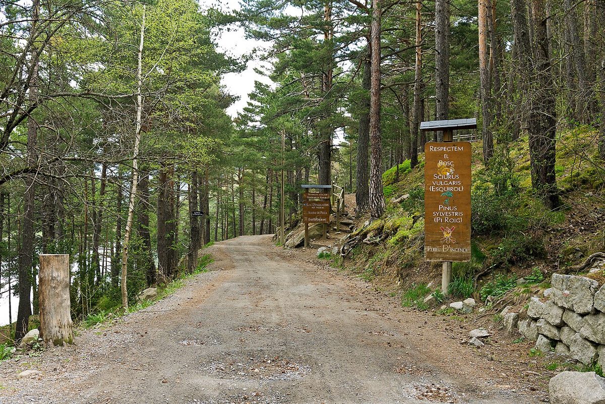
The trick in Andorra is to let the road gain the altitude. Several trailheads sit above 2,000 m, which means a twenty-minute walk delivers a landscape that would take three hours to reach in most of the Pyrenees.
Camí de l’Obac d’Incles
The Vall d’Incles is the prettiest glacial valley in the country and the shady-side path along it, the Camí de l’Obac, is about 2.8 km one way with under 100 m of gain. Stone huts, a river, granite walls on both sides, and almost none of the effort the scenery implies.
Access is the catch. In peak summer the valley road is restricted to protect it from car overload and a shuttle runs from the valley mouth instead — the arrangement has shifted between seasons, so check before you drive up. Outside those weeks you can usually park partway in.
Turn around whenever you like. The valley keeps getting better for another kilometre or two, and the harder paths to the Juclar lakes and the Cabana Sorda peel off from the far end if you ever want to come back with more ambition.
Estany Primer de Pessons
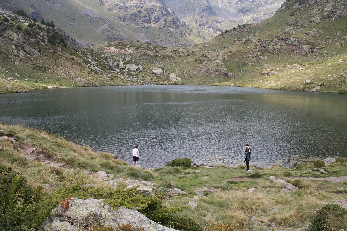
From the Grau Roig car park inside the Grandvalira ski area, it is roughly 1.5 km and about 200 m of climbing to the first of the Pessons lakes. Call it thirty-five to forty-five minutes at a gentle pace.
What you get for that is a granite cirque holding a chain of six lakes, walled by peaks pushing 2,800 m. Reaching the highest lake is a proper day out with over 700 m of ascent; reaching the first is a picnic with a view.
Two honest caveats. The lower section crosses ski infrastructure, so the first ten minutes are not beautiful. And this is a well-known route, so July and August afternoons bring a crowd. Arrive before ten and it is a different place.
Estany de les Abelletes above Pas de la Casa
Under a kilometre each way, around 120 m of ascent, and you finish standing on an international border. The lake straddles the line between Andorra and France, which is a cheap thrill that has never stopped being fun.
The path leaves from near the base of a chairlift on the edge of Pas de la Casa, follows a stream through thin forest and opens onto green water that anglers work for trout all summer. You can walk it from the town in trainers.
Pas de la Casa in summer is a strange, half-empty place — concrete blocks, shuttered ski shops, a supermarket doing brisk trade in cheap alcohol. The lake is the redeeming feature and it redeems a lot.
The first Tristaina lake
The full circuit of the Tristaina lakes is about 4.4 km and graded moderate, with a rockier haul between the first lake and the upper two. But the first lake alone, from the top of the Ordino-Arcalís road, is short and genuinely manageable.
Add the Tristaina solar viewpoint to the plan if you want a mountain panorama for zero effort at all — it sits right by the lift infrastructure at Ordino-Arcalís. The whole area falls inside the UNESCO biosphere reserve designated in 2020, and free-grazing horses often wander the basin.
Short walks with an outsized payoff
Some days you have an hour, not a morning. These three deliver more scenery per minute than anything else in the country.
Camí del Toll Bullidor
Just over 800 m in total, dropping gently through woodland near the Meritxell sanctuary in Canillo to a spiral staircase and a viewing platform above a waterfall in a gorge. The river noise builds the whole way in, which is a nice piece of accidental theatre.
The falls are at their most violent from April to June on snowmelt. They still work through summer and autumn. In winter the path can ice up badly and I would skip it unless you have spikes.
Roc del Quer
A short walk from the car park brings you to the cantilevered steel walkway at Roc del Quer, jutting out over a 500 m drop with a seated bronze figure at the end contemplating the void. It is free, it takes fifteen minutes, and it is the single most efficient view in Andorra.
Nearby, the Tibetan bridge at Canillo is a ticketed crossing rather than a hike, but it pairs neatly with Roc del Quer for a half-day of vertigo without any real walking.
Mirador del riu Runer
Down at the southern end of the country near Sant Julià de Lòria, this is about a kilometre of quiet, gently graded path — the sort of walk you do because you are staying nearby rather than because you drove across the country for it. Handy if you are coming in from Spain and want to stretch your legs at the border.
Village-to-village: the old Camins Rals
Before the roads, people walked between the parishes on royal ways. Several survive as waymarked paths, and they are among my favourite non-ski things to do in Andorra because they combine walking with actually seeing where people live.
Camí Ral, La Massana to Andorra la Vella
About 6.7 km, and the elevation profile shows something like 34 m of gain because you are heading downhill the whole way. The path follows the river past old stone bridges and a small church, and it is startling how removed you feel given the main road is often within a hundred metres.
Link it with the Rec del Solà at the bottom and you have a long, flat, thoroughly satisfying day on foot. Get back to La Massana on bus line L5 towards Arinsal or L6 towards Ordino, both of which run frequently from the capital’s terminal.
Ruta del Ferro, Llorts to La Cortinada
The Iron Route covers roughly 4.2 km with around 126 m of climb, starting at the old iron mine above Llorts in the Ordino valley. Iron sculptures along the path tell the story of extraction, smelting and trade, which sounds worthy and is actually rather good.
The mine itself opens in summer. At the far end, La Cortinada has a Romanesque church and old mills, and the Rossell forge nearby is worth an hour if the industrial history has caught you. This is one of the better introductions to Andorra’s mountain villages.
Camí del Gall, Soldeu to Canillo
Waymarked with a red rooster, this runs about 5.9 km with roughly 285 m of height difference, and it includes a tunnel, wooden footbridges and one short chain-assisted section that children treat as the highlight.
Here is the tip that matters: walk it from Soldeu down to Canillo rather than up. Same trail, same features, none of the 285 m of climbing. Buses run along the CG-2 between the two villages, so the logistics are easy either way.
Family hikes in Andorra: routes that keep children moving
Andorra has thought harder about walking with children than almost anywhere else I have visited, and it shows in the way trails are baited with things to find.
The Tamarros portals
Tamarros are small invented forest creatures who defend Andorran nature from a troll called Brutícia. Seven magic portals are hidden in the woods, one per parish, and you activate each by leaving a round stone.
It is deeply silly and it works. I have watched children who complained about a twenty-minute walk cheerfully cover three kilometres because there was a portal at the end. Collecting all seven turns into a multi-day project across the country.
The Macarulla trails
Seven short educational loops, again one per parish, each built around a theme: mushrooms in Canillo, animal tracks in Encamp, butterflies in Ordino, forest spirits in La Massana, insects on the edge of Andorra la Vella, a witch’s potion in Escaldes-Engordany and a mischievous character in the Rabassa forest above Sant Julià.
They are short, signposted and free. If you are travelling in Andorra with kids, plan one Macarulla trail per day and you will have covered a lot of ground without a single argument about how far it is.
The Enchanted Forest at Ordino
In the Esquella forest near Ordino, wooden sculptures, faces on trunks and trees wrapped in blankets turn a stroll into something closer to a story. From the Coll d’Ordino road it takes about ten minutes; entering from the Segudet side stretches it to an hour.
Educational routes in the Incles valley
Two child-focused schemes operate in the Vall d’Incles: a guide-notebook and a spot-the-marker game across six short paths. Complete one and the Canillo tourist office hands over a small reward. Ask at the office for the current booklets before you drive up.
Choosing by what kind of traveller you are
You have no car
Base yourself in the capital and you can walk the Rec del Solà and the Rec de l’Obac straight from the door. Bus lines L5 and L6 open up the Arinsal and Ordino valleys, and services along the CG-2 reach Encamp, Canillo, Soldeu and Pas de la Casa. Our guide to getting around Andorra covers the network in detail; fares are low, typically a few euros a leg.
Your knees are not what they were
Take the Circuit de les Fonts at Engolasters, the Rec del Solà, and the Camí Ral downhill from La Massana. Avoid anything described as a descent on loose ground — the drop from the Coll d’Ordino side and parts of the Tristaina circuit are harder on knees than the ascent figures suggest.
You want to feel like you have been in the mountains
Estany Primer de Pessons and the first Tristaina lake both deliver alpine granite and cold water for under an hour of walking. If that leaves you wanting more, the Sorteny valley natural park has gentle lower sections through some of the richest wildflower meadows in the Pyrenees before the gradient steepens.
You are curious about the hard stuff
Two names to know. Coma Pedrosa is the country’s highest summit at 2,942 m and a long, unforgiving day on scree. The Madriu-Perafita-Claror valley is a UNESCO World Heritage glacial valley with no road access at all — the lower section from Escaldes makes a fine steep half-day, and the full traverse is a serious undertaking. Neither belongs on a list of easy walks, but both are worth knowing about.
Planning the practical side
When to go
Andorran tourism advice is to keep routes above 1,700 m for the window between late June and late September, extending to May and October when conditions allow. That covers Pessons, Tristaina, Abelletes and the upper Incles paths.
Below that line the season is much longer. The canal walks around the capital work in every month, and I have done the Rec del Solà in February in a fleece. Snow lingers on north-facing sections well into spring, so a shady path in April can still be a skating rink.
September and early October are my pick. Larches turn, the crowds have gone, the light is low and gold, and afternoon thunderstorms are less frequent than in high summer. For the fuller seasonal picture see our notes on the best time to visit Andorra and what the country is like during summer.
Getting to trailheads
A hire car makes the high trailheads trivial and costs perhaps EUR 35 to 60 a day out of Barcelona or Toulouse, though you will burn a couple of hours each way on the approach roads. Parking at the routes in this guide is free.
Without a car, plan around the bus network and accept that the highest trailheads — Grau Roig, the top of Arcalís — are awkward. Some seasonal shuttles operate to the ski areas in summer; ask at a tourist office rather than trusting an out-of-date web page.
What to bring
Trail shoes or light boots rather than trainers, because even the flat canal paths have loose gravel sections. Carry at least a litre and a half of water per person in summer, though the Rec del Solà has fountains along it.
Sun protection matters more than people expect. At 1,500 to 2,300 m the ultraviolet is fierce even when the air is cool, and I have seen more sunburn on Andorran valley walks than on beaches.
Pack a windproof or light waterproof regardless of the forecast. Afternoon storms build fast over the ridges in July and August, and the temperature can drop ten degrees in twenty minutes. Check the national meteorological service the morning you walk.
What it costs
The walking is free, which makes it one of the better free things to do in Andorra in a country otherwise built around spending money. Budget only for transport, food and whatever you cannot resist in the shops afterwards.
A mountain-refuge lunch or a menu del dia in a village restaurant runs to around EUR 15 to 20. A soak at the thermal spa afterwards costs considerably more, but after a long day on the Camí Ral I have never regretted it.
Mistakes I see people make
Starting too late is the big one. Storms build in the afternoon, car parks fill by nine-thirty in August, and the light on these valleys is better before eleven anyway.
Trusting distance over gradient is the second. A 3 km path with 300 m of climb is harder work than a 7 km canal walk, and Andorran signage tends to quote time, not difficulty, in a way that flatters fit locals.
The third is treating the country as small enough to improvise across. It is compact on a map, but the roads switch back constantly and a 25 km hop can take fifty minutes. Pick one valley per day.
Frequently asked questions
Are there easy hikes in Andorra suitable for complete beginners?
Yes, and more than most people expect. The canal paths around the capital have almost no ascent at all, and short routes like the Toll Bullidor waterfall walk or the first Pessons lake take under an hour. If you can walk comfortably for two hours on the flat, you can do most of the routes in this guide.
What is the easiest walk in Andorra?
The Rec del Solà, on distance-to-effort grounds. It runs around 5.1 km with a listed elevation change of about three metres, has benches and drinking fountains along the way, and starts a short walk from central Andorra la Vella. The Circuit de les Fonts at Engolasters is easier underfoot but slightly hillier in feel.
Can you go hiking in Andorra without a car?
Comfortably. The two canal walks above the capital start on foot from town, and bus lines L5 and L6 reach the Arinsal and Ordino valleys while services along the CG-2 cover Encamp, Canillo and Soldeu. Only the highest trailheads, such as Grau Roig and the top of Arcalís, really need a car or a seasonal shuttle.
Are Andorra’s easy walks suitable for pushchairs?
Some are. The Circuit de les Fonts at Engolasters was built as an accessible route and takes a buggy without difficulty. The Rec del Solà is manageable with a sturdy three-wheeler, though there are a few rougher metres. Most other trails here have steps, roots or loose gravel that will defeat wheels.
When is the hiking season in Andorra?
Roughly May to October, with late June to late September the reliable window for anything above 1,700 m. Valley-floor and canal walks are open year-round, though north-facing sections hold ice into spring. Snowshoes or microspikes open up several of these routes in winter if you are equipped.
Do you need hiking boots for easy walks in Andorra?
Not boots, but do wear something with grip. Trail shoes handle everything in this guide. Smooth-soled trainers are fine on the Rec del Solà and the accessible circuit, and unpleasant anywhere with loose stone, which includes the approach to Pessons and parts of the Incles valley path.
Are the trails well signposted?
Generally yes. Andorra waymarks its network clearly, several family routes have their own symbols such as the red rooster on the Camí del Gall, and tourist offices hand out free route sheets. Download an offline map anyway — mobile coverage drops in the deeper valleys, and roaming rules differ here from the EU.
Which easy walk has the best view?
For mountains, the first Tristaina lake or the Pessons cirque. For a view of the country itself, the picnic viewpoint on the Rec del Solà, looking down the whole capital valley. For sheer drama per minute walked, the cantilevered platform at Roc del Quer beats everything.
Where to go next
Build a walking trip around these routes using our guide to what to do in Andorra in summer, and space the valleys sensibly with the summer itinerary. Anyone planning several days on the trails will get more out of the main Andorra hiking guide once these easy walks have given them the appetite.
Photo credits
All photographs are from Wikimedia Commons under their stated licences, with thanks to the photographers: