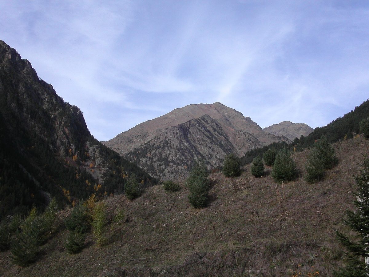
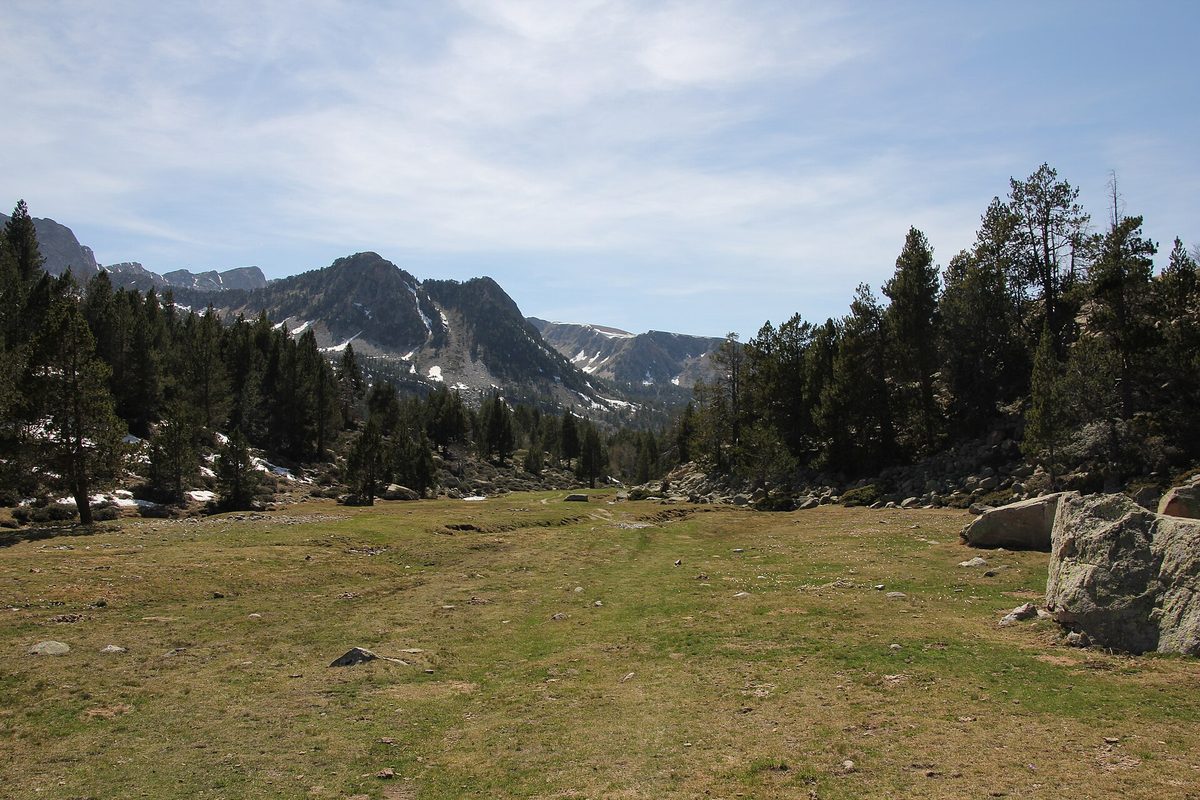
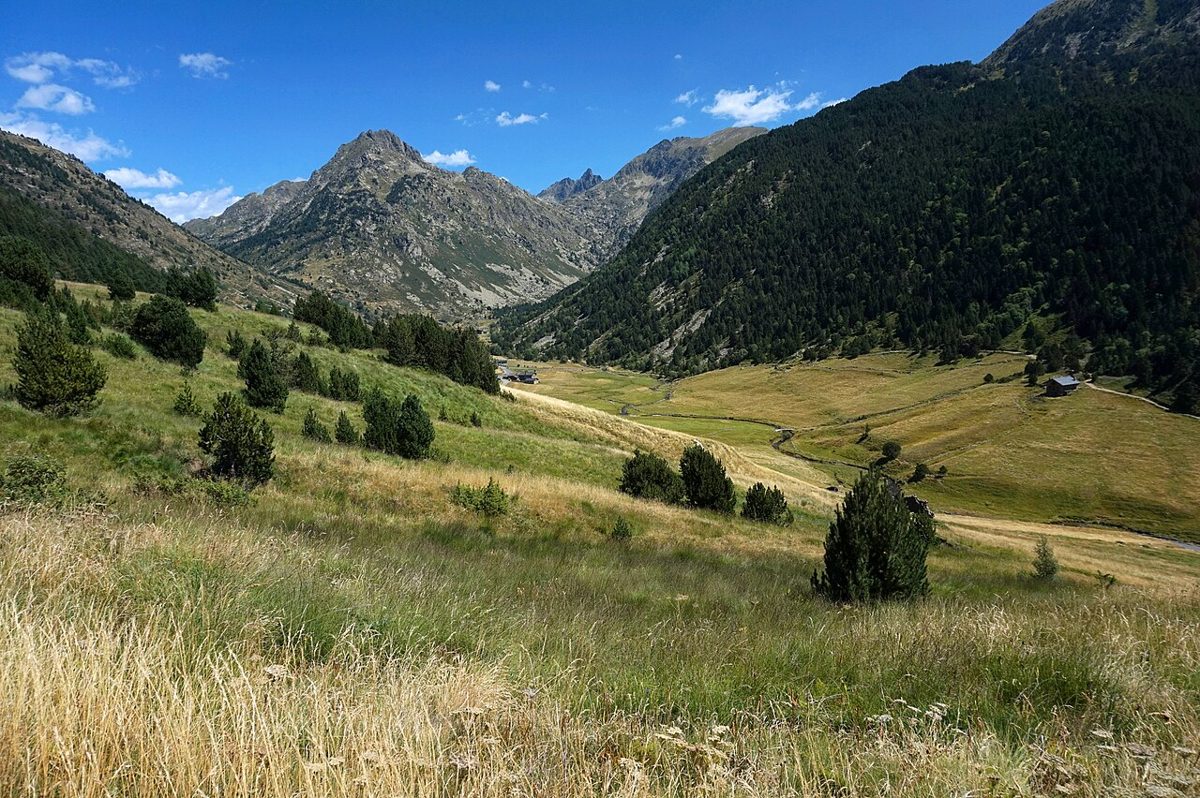
This is a lake you can walk round in ordinary trainers, with small children in tow and no mountain experience at all. That is rather the point.
Lake Engolasters is a mountain reservoir at about 1,616 m above the capital, Andorra la Vella, with a forested lakeside loop and several hiking routes close by. This guide is for anyone who wants a proper Pyrenean lake without a proper Pyrenean climb — families, half-day visitors, and walkers looking for a warm-up.
Last updated: September 2026. Bus timetables, shuttle dates, museum hours and prices in Andorra change often — check the official sites before you set off.
Lake Engolasters at a glance
| Detail | What to expect |
|---|---|
| Altitude | About 1,616 m (you will also see 1,620-odd quoted on signage) |
| Type | Natural glacial basin, dammed in 1934 as a hydroelectric reservoir |
| Lakeside loop | An easy circuit of the shore on woodland path and quiet lane |
| Getting there | Car, the free EE Bus from Caldea in Escaldes-Engordany (selected departures reach the lake), or on foot from Encamp |
| Cost | Free to visit and walk, and the EE Bus up is free too |
| Swimming | Not allowed — it is a working water reservoir |
| Best months | June to October for easy walking; December to March for snowshoes |
| Nearby | Sant Miquel d’Engolasters church, the MW electricity museum in Encamp |
What Lake Engolasters actually is
Start with the honest bit, because a lot of travel writing skips it. The basin is glacial, but the lake in it is a reservoir, created when Forces Hidroelèctriques d’Andorra threw a 178-metre-long dam wall across its southern end in 1934. The water level moves. In a dry September you can see a pale tide-mark of stone around the edge, and it looks less romantic than the postcards.
None of which stops it being lovely. The lake sits in a bowl of dense pine and birch, on a shoulder of mountain that separates the Valira valley from the high country to the east. The forest comes right down to the water. On a still morning the reflection is close to perfect, and the surface takes on a deep bottle-green that photographs better than it has any right to.
Administratively it straddles the parishes of Escaldes-Engordany and Encamp, which is why you will see it claimed by both and signposted from both. In Catalan it is the Estany d’Engolasters or Llac d’Engolasters — worth knowing, because road signs use the Catalan and your map app may not.
For context: it is nowhere near Andorra’s largest lake, which is Juclar. But Juclar costs you a stiff two-and-a-half-hour climb, and Engolasters costs you a car park. That trade is the entire reason this place is famous.
Walking the lakeside loop at Lake Engolasters
The main event is a circuit of the water, and it is about as gentle as walking gets in a country that is ninety per cent mountain.
The route, in plain terms
From the main lakeside car park at Camp del Serrat, the loop simply follows the shore round. The western side is a proper woodland path — packed earth, tree roots in a couple of places, dappled shade the whole way. The eastern side is the Carretera d’Engolasters, a quiet tarmac lane closed to through traffic at the top, lined with trees and level enough to push a buggy along.
How long it takes depends mostly on how long you stop at the dam wall to watch the overflow, which you will, because there is something hypnotic about a lot of water disappearing quietly into a hole.
There is no meaningful ascent. If you have been reading about hiking in Andorra and quietly worrying about the 800-metre climbs that dominate most trail lists, this is the antidote. It is also a fair honesty check on your fitness before you commit to one of the country’s big summit days.
Which way round?
Anticlockwise, starting on the forest path. You get the shaded, prettier half while you are fresh and finish on the road with the wide view back across the water. Clockwise works fine; it just front-loads the tarmac.
The bit people miss
Walk past the dam and about five minutes further south along the shoulder and you reach a viewpoint over the Valira valley, with Escaldes and the capital laid out a thousand metres below. Most visitors turn around at the dam. Don’t. On a clear evening it is the best thing here, and it costs you ten extra minutes.
Getting to the lake: road, bus and the shuttle
By car
From Andorra la Vella, head for Escaldes and climb out on the CS-200, a tight, well-surfaced mountain road of hairpins and a few blind corners where cyclists appear from nowhere. Take it slowly. Andorran drivers will overtake you; let them.
The lakeside car park at Camp del Serrat is the obvious target. It is not large, and in high summer it fills by mid-morning.
The 2026 parking shuttle
Escaldes-Engordany introduced a free shuttle and new parking for summer 2026 to deal with exactly that problem. A free overflow car park at Pradràs, near the Font de la Closa picnic area, took about 100 vehicles, with a free shuttle bus up to the lake running daily from 9am to 6pm between 4 July and 7 September. Roadside parking on the mountain road was banned once Camp del Serrat filled.
The comú said it would review the pilot at the end of summer, so treat the exact dates as provisional for future years — but expect some version of it to return. It is a sensible scheme and the road badly needed it. If you visit in July or August, plan on parking low and riding up.
By bus
The free EE Bus Engolasters service leaves from Caldea in Escaldes-Engordany, and only the departures marked in the municipal timetable carry on to the top car park at Camp del Serrat. On weekdays the first bus goes at 07:00; at weekends and on holidays, at 09:00. Check the current timetable on the Escaldes-Engordany comú’s site, at a tourist office or at the stop before you commit, because it changes seasonally and there is nothing worse than a two-hour wait at 1,600 m in the rain.
It is a good option if you are car-free. Our guide to getting around Andorra without a car goes into the wider bus network, which is genuinely decent for a country this size.
On foot from Encamp
The classic approach starts in Encamp, opposite the National Automobile Museum, where a signposted path heads south towards the lake and the Riu Blanc. It is about 1.9 km with roughly 350 m of ascent, and it joins the GR-11 partway up, so from there you simply follow red-and-white flashes.
Reckon on an hour and a quarter going up and 45 minutes coming down. It is a lovely bit of forest walking through pine and past old bordes — including the Cresper cabin — and it turns a lake visit into a satisfying half day. Best done as an up-and-down, or bus up and walk down if the timetable cooperates.
The Funicamp confusion
People arrive expecting a funicular to the lake. There isn’t one. The Funicamp is a funitel, about 6 km long and one of the longest in Europe, that leaves from Encamp and climbs for about 25 minutes over the Cortals valley to Solanelles, in the Encamp sector of Grandvalira. It drops you into high, open country at well over 2,000 m; the summer 2026 pedestrian return was EUR 16, and Grandvalira’s site carries next summer’s prices and dates.
It is a good ride and worth doing. It just goes somewhere else entirely. If you want the lake, you want the road, the bus or the Encamp footpath.

Sant Miquel d’Engolasters and its improbable bell tower
A short way below the lake, on a grassy shelf with a view straight down the valley, stands one of the finest small Romanesque churches in the Pyrenees. Sant Miquel d’Engolasters is 12th century, Lombard in style, built from local stone with semicircular windows and the flat pilaster strips that mark the type.
The bell tower is what stops people. It is around 17 m tall and comically out of proportion to the tiny nave beside it — as though someone ordered the wrong size and installed it anyway. From the valley road far below you can pick it out as a pale finger against the trees.
Inside, the apse carries a reproduction of the original mural cycle. The genuine paintings were removed in the early 20th century and now hang in the MNAC in Barcelona, along with much of Andorra’s and Catalonia’s Romanesque wall painting. The scene is a Christ in majesty with the tetramorph, and it has one genuine oddity: the Archangel Michael is fused with the winged man of St Matthew, an iconographic mash-up you will not see in many other places.
Entry is free. Guided visits run in the summer season, organised through the national museums service, and opening is limited outside those hours — the church is often locked, so check before making a special trip. If the doors are shut the setting alone justifies the ten-minute detour.
It is one of the easiest stops on any tour of the Romanesque churches of Andorra, and it pairs neatly with a lake walk into a comfortable morning.
Water, wires and a drowned village
The hydroelectric story
Andorra in 1930 was poor, rural and largely unlit. The concession granted to Forces Hidroelèctriques d’Andorra — FHASA — to dam Engolasters and drive a power station down at Encamp is arguably the moment the modern country begins. It brought money, roads, tunnels and several hundred Spanish labourers, and it wired the valleys.
You can still read the scheme in the landscape. The canal path, the camí hidroelèctric, contours along the hillside on a gradient so gentle it can only have been engineered for water. Walking it is like following a very slow, very patient line drawn across the mountain.
The story is told properly at the MW Museu de l’Electricitat in Encamp, run by FEDA, the national utility. Admission has been around EUR 5 with concessions at half that, children under 10 free, and it has traditionally closed on Mondays. Check the museum’s current opening schedule before you build a day around it. Our roundup of Andorra’s museums covers the alternatives in Encamp if it is shut.
The legend of the swallowed village
The local story is better than the engineering. There was a village here, so it goes, before there was a lake. The men of the village took to creeping up at night to watch witches bathing naked in the water. The witches, unimpressed, turned every last voyeur into a black cat and drowned the settlement for good measure.
A tidy little parable about minding your own business. The witches are said to have left when the dam works started in the 1930s, which suggests they had less tolerance for civil engineering than for peeping. Whether the name Engolasters really means something like “swallower of stars” is disputed by people who know more about Catalan etymology than I do, but it is what every local guide will tell you, and it suits the place at dusk.
Walking on: routes that start at the lake
Engolasters is a trailhead as much as a destination, and this is where it gets genuinely interesting.
Camí de les Pardines
An interpretive forest trail running from the Bordes de les Pardines area above Encamp to the lake, roughly 3 km through pine woods on a wide, well-graded track. Plant labels along the way, easy underfoot, popular with local families. It is the standard link route if you want to combine the lake with Encamp on foot without doing the steeper direct path.
Camí de les Fonts
The springs path runs above the lake on a wide track, level for a good stretch and comfortable underfoot. Shaded, too, and the obvious extension if the lake loop left you wanting more.
Coll de Jovell and down into Madriu
This is the serious option. Follow the Camí de les Fonts and then the GR-11 signs to Coll de Jovell, and the path drops steeply into the Madriu-Perafita-Claror valley, the UNESCO-listed glacial valley that occupies a tenth of the country and has no road in it at all. From the col the path descends the southern slope of the Madriu valley to the long-distance path above the Bordes de Ràmio, and from there you can continue up the valley to the Fontverd refuge.
Done as an out-and-back to Fontverd this is a full day: six to seven hours, a lot of shady forest, and a serious climb back out at the end. Do not treat it as an extension of a lake stroll. Carry water and check the forecast — afternoon storms in July and August are the local speciality.
Prat Primer
Continuing over the Collada de la Caülla by the Maians and Certeressos paths brings you to the Refugi de Prat Primer, an unstaffed mountain hut on the Perafita side. Long, quiet, properly remote in feel despite being a few hours from a capital city. For strong walkers only, and best treated as part of a two-day traverse rather than a day trip.
The Rec del Solà link
Down on the sunny side of the valley above Andorra la Vella runs the Rec del Solà, an irrigation canal built in 1880 and now a flat, shaded walk of 4 km out and back, with the whole capital spread out below. It is not a continuous marked route from the lake, but it occupies the same mental category: a level, easy, high-level walk you can do in trainers. Pairing the two makes a good low-effort day, and both feature in our list of easy hikes in Andorra.
The Ruta del Ferro question
Worth clearing up, because searches for the iron route keep landing people here. Andorra’s signposted Ruta del Ferro is not at Engolasters — it is up in the Ordino valley, a 4.2 km linear trail from the Llorts mine down to the church of Sant Martí de la Cortinada, with iron sculptures along the way and a 30-metre mine shaft you can go into in season. Excellent walk. Wrong valley: it is a drive north, into Ordino.
There is a separate iron-working itinerary in the Madriu valley, which you can reach from Engolasters via Coll de Jovell, so the association is not baseless. But if someone has recommended the Ruta del Ferro to you, they mean Ordino.

Families, buggies and less-mobile walkers
This is the lake’s real superpower and the reason I recommend it more often than prettier ones.
The eastern side, along the old road, is flat tarmac with no steps and no drops. A pushchair handles it without complaint. So does a wheelchair with a companion, though the surface is not billiard-smooth and there are no dedicated accessible facilities at the lake itself. A there-and-back along the road side, rather than the full circuit, avoids the rootier forest path entirely and still gives you the water, the dam and the views.
For children, the appeal is straightforward: a big body of water, ducks, forest, and a route short enough that nobody has a meltdown. A multi-adventure park with rope courses and zip lines operates in the woods by the lake through the summer season, opening once the ski season ends — prices and hours vary year to year, so check on arrival rather than planning around it.
Two warnings. First, the water is off-limits: no swimming, no paddling, no launching anything. It is a working reservoir and the ban is enforced. Explain this to children before they see the lake, not after. Second, the shoreline is unfenced in places and drops away quickly. Fine for walking, not somewhere to let a three-year-old sprint ahead.
Picnic tables sit near the car park and at Font de la Closa lower down the road, and there is usually a bar or restaurant open at the lake in season. Bring your own lunch anyway — half of Andorra does. More ideas for keeping small people happy here are in our guide to Andorra with kids, and the lake also earns a place among the country’s genuinely free things to do.
Seasons: when to come and what changes
Summer, June to September
The default: June to September is the recommended season for the walk up from Encamp, and the forest is at its deepest green. Check the church and museum hours before you go. It is also when the car park overflows and the shuttle runs. Come before 10am or after 5pm and the difference is dramatic.
Afternoon thunderstorms are common in July and August. They build fast and they are loud. If you are doing anything beyond the lake loop, be heading down by early afternoon. Broader seasonal advice is in our guide to Andorra in summer.
Autumn, October and early November
My favourite. The birches turn, the crowds evaporate after the first weekend of October, and the low light on the water in late afternoon is exceptional. Bring a warm layer; it gets cold quickly once the sun drops behind the ridge.
Winter, December to March
The road is usually kept open and cleared, but it can close briefly after heavy snow and winter tyres or chains are a legal requirement in Andorra in the relevant months. Check conditions before driving up.
The reward is the Camí de les Pardines, a botanical trail of about 3 km beside the lake that makes a gentle winter outing; check local conditions, and whether you need snowshoes, before you set off. The lake sometimes freezes at the edges. Do not walk on it — the level fluctuates and the ice is unreliable.
Spring, April and May
The awkward season. Snowmelt makes the forest path muddy, the adventure park is generally shut, and the higher onward routes towards Madriu will still be under snow well into May. The lake loop itself is usually fine. If you are choosing dates from scratch, our month-by-month guide to visiting Andorra lays out the trade-offs.
Costs, timing and what to bring
Visiting the lake is free. Parking at Camp del Serrat has been paid in recent seasons and the Pradràs overflow is free; the EE Bus up costs nothing at all. The church costs nothing. The museum in Encamp has been around EUR 5. Come by bus and the whole thing costs you a sandwich.
On time: allow longer if you add the church and viewpoint to the loop, half a day if you walk up from Encamp, and a full day if you add the museum or push over Coll de Jovell.
Bring trainers or light walking shoes — boots are overkill for the loop but sensible for anything beyond it. A windproof layer, because the shoulder catches wind that the valley does not. Water, since taps are unreliable. Sun cream: you are above 1,600 m and the UV is stronger than it feels under the trees. And in July and August, a rain shell, however unpromising the morning sky looks.
Is it worth it? An honest verdict
Yes, with an asterisk.
Engolasters is not Andorra’s most beautiful lake. That title belongs to somewhere higher and harder — the three glacial pools on the Tristaina lakes circuit, or the wild upper reaches of Vall d’Incles. If you have two good legs, a full day and decent weather, go there instead and come back to Engolasters another time.
But that is not who this lake is for. It is for the first afternoon of a trip when you have driven for six hours and want mountains without effort. It is for grandparents and pushchairs. It is for a rainy week when the high routes are out. It is for a run before breakfast. And it is for the shoulder seasons, when the wildflower meadows of Sorteny and the high passes are closed and this is one of the few places still comfortably walkable.
Judged on that basis it is close to perfect.

Frequently asked questions
Can you swim in Lake Engolasters?
No. Swimming is prohibited because the lake is a working reservoir feeding the hydroelectric scheme and the water supply. That extends to paddling, inflatables and launching boats. If you want water you can actually get into, head for the thermal complexes down in Escaldes-Engordany, which are ten minutes away by car and considerably warmer.
How long does it take to walk around the lake?
The circuit simply follows the shore, on woodland path and quiet lane, with almost no ascent, so the time is mostly down to how long you stop at the dam and the viewpoint. To make more of it, extend along the Camí de les Fonts or drop down to the church and back up.
Is Lake Engolasters natural or man-made?
Both, in a sense. The lake sits in a natural glacial basin, but the reservoir you see today was created by a 178-metre-long dam that FHASA built in 1934 for hydroelectric power. That is why the water level visibly rises and falls through the year, and why you can sometimes see a bare stone margin around the shoreline in late summer.
How do I get there without a car?
Catch the free EE Bus Engolasters from Caldea in Escaldes-Engordany; only some departures go all the way to Camp del Serrat, so pick one marked in the municipal timetable. Alternatively, walk up from Encamp on the signposted path opposite the Automobile Museum — 1.9 km with about 350 m of climb, an hour and a quarter up and 45 minutes back down.
Is the walk suitable for young children and pushchairs?
The eastern side along the old road is flat, surfaced and buggy-friendly, so an out-and-back that way works well. The western forest path has roots and uneven ground and is harder with wheels. Nothing on the loop is dangerous, but the shoreline is unfenced in places, so keep small children close to the path.
What is the legend of the drowned village?
Local tradition says a village stood here before the water. Its men used to spy on witches bathing at night, and the witches punished them by turning them into black cats and drowning the village. The witches are said to have departed when dam construction began in the 1930s. It is folklore rather than history, but it is the story every Andorran will tell you.
Can you visit in winter?
Yes, and it is quietly excellent. The road is normally cleared, though winter tyres or chains are required by law in the winter months and heavy snowfall can close it temporarily. The Camí de les Pardines, a walking trail of about 3 km, runs beside the lake; ask locally about conditions on it before you go. Never walk on the ice — the reservoir level changes and the surface is not to be trusted.
What else can I combine with a visit?
Sant Miquel d’Engolasters church is minutes below the lake and free. Encamp has the electricity museum and the Automobile Museum, and the Funicamp gondola for high-mountain views. Escaldes-Engordany and the capital are a short drive down the hill. A lake walk plus a church plus a museum is a comfortable, unhurried day — see our three-day family itinerary for how it slots in.
Related guides
If this whetted your appetite, read on: our overview of Andorra’s nature parks explains which protected valley suits which kind of walker, and the parish guides to Encamp and Escaldes-Engordany fill in where to eat and sleep at either end of the mountain road.
Photo credits
All photographs are from Wikimedia Commons under their stated licences, with thanks to the photographers: